About Us
About AERIALLY.AI
We combine drone technology with artificial intelligence to inspect buildings faster, safer, and more thoroughly than traditional methods. A division of THE FUTURE 3D, we bring deep expertise in 3D scanning, photogrammetry, and spatial data to every inspection.
Our Mission
Inspection That Actually Covers the Building
Traditional building inspection relies on scaffolding that reaches 10-15% of a facade. The remaining 85-90% goes unseen. We started AERIALLY.AI to solve this problem.
Our drone-based approach covers 90-100% of a building's exterior in a single flight. AI algorithms then analyze every image to detect cracks, spalling, corrosion, and other defects -- each GPS-referenced and severity-scored. The result is a PE-certified report delivered promptly.
As a division of THE FUTURE 3D, we draw on extensive experience in 3D scanning, photogrammetry, and spatial data services. This foundation allows us to deliver not just inspection data, but actionable intelligence for building owners, engineers, and property managers across Florida.
90-100%
Facade Coverage
vs. 10-15% traditional
24hr
Report Delivery
PE-certified
$5M
Insurance Coverage
Per occurrence
35+
Florida Cities
Statewide service
Our Capabilities
Technology Built for Building Inspection
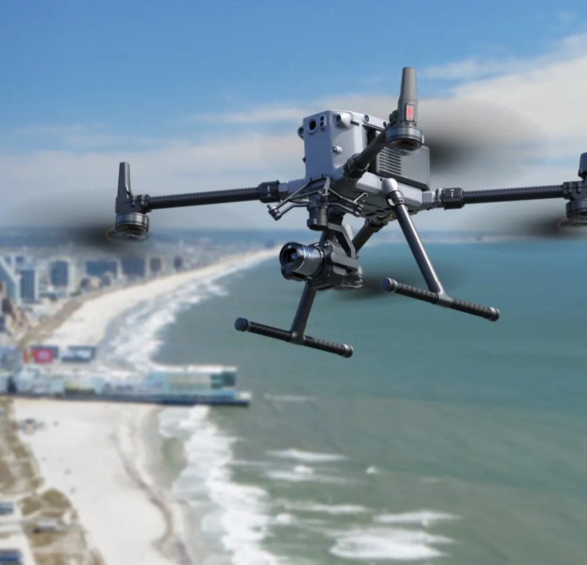
Every flight combines high-resolution imaging, thermal analysis, and AI processing to produce comprehensive, actionable inspection data.
Drone Fleet
Commercial-grade inspection drones equipped with high-resolution visual cameras (up to 50MP), FLIR thermal sensors, and precision GPS. Capable of inspecting buildings from 3 stories to 50+ stories in a single flight session.
AI Analysis Platform
Machine learning models trained to detect and classify up to 20 defect types including cracks, hairline cracks, spalling, corrosion, efflorescence, sealant failure, and water intrusion indicators. Each defect is GPS-referenced with calculated square footage.
Multi-Sensor Capture
RGB visual cameras capture surface-level defects in ultra-high resolution. FLIR thermal sensors reveal hidden moisture, insulation gaps, and structural anomalies invisible to the naked eye. Both data streams feed into our AI for comprehensive analysis.
Our Values
What Guides Every Inspection
Every flight, every report, and every client interaction is guided by these principles. They are not aspirational -- they are operational requirements.
Safety First
FAA Part 107 certified pilots on every flight
Pre-flight risk assessment and site survey for every job
$5M liability insurance coverage per occurrence
Zero-disruption operations -- no scaffolding, no restricted access
Accuracy and Thoroughness
90-100% facade coverage on every inspection
Up to 50MP image resolution for defect identification
GPS-referenced defect mapping with severity scoring
PE-certified reports accepted by code enforcement
Innovation and Compliance
AI defect classification with continuous model improvement
SB-4D milestone inspection compliant reporting
3D digital twins and printable orthomosaics included
Thermal overlay analysis for hidden anomalies
Want to See How We Inspect Buildings?
Walk through our 6-step process from consultation to PE-certified report delivery. Or get a free quote for your building right now.
Credentials
Certified. Insured. Compliant.
Every inspection is backed by professional certifications, engineering oversight, and comprehensive insurance.
FAA Part 107
All drone pilots hold current FAA Part 107 Remote Pilot Certificates. Every flight follows FAA regulations and airspace coordination protocols.
PE-Certified Reports
Inspection reports are certified by Florida-licensed Professional Engineers. Accepted by all Florida code enforcement agencies for SB-4D milestone compliance.
$5M Insured
$5 million general liability insurance per occurrence. Additional insured certificates available for property managers and building owners upon request.
A Division of
THE FUTURE 3D
AERIALLY.AI operates as a specialized inspection division of THE FUTURE 3D, a 3D scanning and spatial data company serving architecture, engineering, and construction clients. Our parent company's expertise in photogrammetry, LiDAR, point cloud processing, and BIM integration informs every aspect of how we capture and process building inspection data.
Companies We Recommend
Professional Services We Recommend
For specialized engineering and surveying needs, we recommend these professional firms serving Florida.
Ready to See What Your Building Really Looks Like?
Free consultation. Custom quote — 1-hour average response time. PE-certified reports.
Before You Go
Get Your Free Inspection Quote
Takes 30 seconds. 1-hour average response time, 24/7.