Government & Municipal
Drone Inspection for Government & Municipal
Government agencies and municipalities use our drone inspection services for public infrastructure assessment, post-disaster response, code enforcement support, and capital planning. Objective, PE-certified data supports transparent budget justification and responsible asset management.
The Challenge
Government Inspection Challenges
Aging Infrastructure Backlogs
Public buildings, bridges, and infrastructure age without systematic condition assessment. Limited inspection budgets mean many assets are evaluated only when problems become visible.
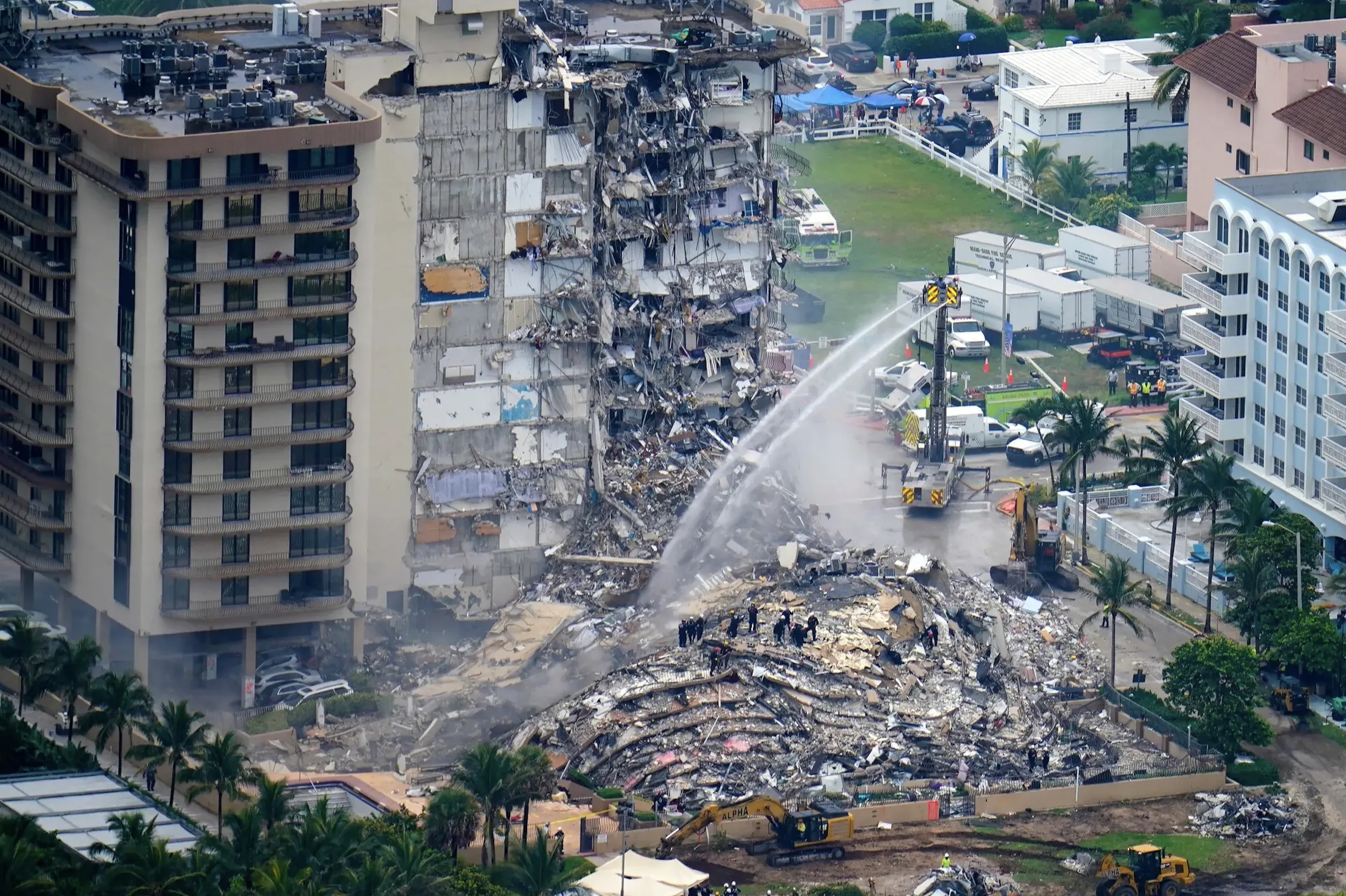
Post-Disaster Assessment Scale
After hurricanes and severe weather, municipalities must assess hundreds or thousands of structures rapidly. Traditional methods cannot scale to meet the urgency.
Budget Justification Requirements
Securing capital improvement funding requires objective, documented evidence of infrastructure conditions. Anecdotal or limited inspection data weakens budget proposals.
Code Enforcement Objectivity
Enforcement actions require defensible documentation. Subjective assessments are challenged more easily than quantified, GPS-referenced evidence.
Our Solution
How AERIALLY.AI Solves These Challenges
High-Capacity Aerial Assessment
Drones inspect multiple structures per day without scaffolding, road closures, or traffic disruption. We can scale capacity for large-scale infrastructure programs.
Rapid Emergency Response
Post-disaster deployment within 24-48 hours. Drones safely access damaged structures that may be unsafe for human entry, providing rapid situational awareness.
Quantified Budget Documentation
AI-generated defect inventories with calculated repair areas provide the objective data needed to justify capital improvement requests and prioritize limited funding.
GPS-Referenced Evidence
Every finding is documented with GPS coordinates, high-resolution imagery, and severity classification — creating defensible records for code enforcement and legal proceedings.
Services for Government
Primary Services
These drone inspection services are most commonly requested by government & municipal professionals. Each includes PE-certified reporting and AI defect analysis.
Facade Inspection
Comprehensive exterior building envelope scanning using drones and AI. 90-100% facade coverage with 20-50MP imagery, 3D models with 1-inc...
Learn more →Construction Monitoring
Drone-based construction progress documentation, timelapse recording, compliance verification, and stakeholder reporting for active job s...
Learn more →3D Mapping
Photogrammetry-based 3D building models with 1-inch accuracy. Point cloud generation, BIM integration, and As-Built Documentation for arc...
Learn more →Additional Services
Roof Inspection
Residential and commercial drone roof inspections for storm damage assessment, leak detection, insurance claims support, and preventive m...
Learn more →Thermal Envelope Inspection
Infrared drone scanning to detect water intrusion, structural separation, insulation failure, and hidden defects invisible to the naked e...
Learn more →AI-Powered Defect Detection
Automated AI analysis of drone inspection imagery. Detects up to 20 defect types including cracks, hairline cracks, corrosion, and spalli...
Learn more →Government Applications
Common Use Cases
How government & municipal professionals use our drone inspection services to solve real problems.
Public Building Condition Assessment
Systematic inspection of municipal buildings, schools, libraries, and government facilities.
Post-Disaster Damage Assessment
Rapid aerial survey of affected areas for emergency management and FEMA documentation.
Code Enforcement Documentation
Objective visual evidence for building code violations and enforcement actions.
Capital Improvement Planning
Condition data to support infrastructure investment prioritization and budget requests.
FAQ
Government Questions
Have a question not answered here? Contact us or call +1 (347) 998-1464.
Can drone inspections be used for public infrastructure beyond buildings?
Yes. Our drone inspection capabilities extend to bridges, parking structures, retaining walls, water towers, and other public infrastructure. The same AI analysis and PE-certified reporting standards apply. We can develop custom inspection protocols for specific infrastructure types.
How do municipalities procure drone inspection services?
We work with municipalities through standard procurement channels including RFPs, cooperative purchasing agreements, and direct contracts. We are insured and bonded for government work and can provide all required documentation for vendor qualification.
Can drone data support FEMA damage assessment documentation?
Yes. Our timestamped, GPS-referenced aerial imagery and PE-certified damage reports provide the documentation standard that FEMA requires for public assistance applications. We can deploy rapidly after a presidential disaster declaration.
Is there a minimum contract size for government clients?
No. We serve municipalities of all sizes — from individual building inspections to portfolio-wide infrastructure programs. Contact us to discuss your specific needs and we will provide a tailored proposal.
How does AI analysis improve government inspection efficiency?
AI processes thousands of drone images per building, automatically classifying defect types, locations, and severity. This reduces engineering review time by pre-organizing findings into a structured defect inventory. For large infrastructure portfolios, AI enables consistent assessment standards across hundreds of assets — something that is impractical with manual-only methods.
Free Assessment
Get Your Government Inspection Quote
Tell us about your building and inspection requirements. We provide a custom quote — 1-hour average response time. Free assessment, no obligation.
PE-certified inspection report
AI defect classification with GPS coordinates
Industry-specific deliverables
Fast report delivery
Ready to Serve Your Government & Municipal Needs?
Free assessment. Custom quote — 1-hour average response time. PE-certified reports.
Before You Go
Get Your Free Inspection Quote
Takes 30 seconds. 1-hour average response time, 24/7.